
The Mill Valley-Sausalito Path is part of a nationwide network of former railroad lines that have been transformed into hiking trails. Tracks for the Northwestern Pacific Railroad used to run where today you can hike, bike, skate and even ride horses. Passenger-train service ceased in 1940, although the tracks remained until the multiuse Mill Valley-Sausalito Path was created in the 1970s. The path is the only way walkers can get from Mill Valley to Sausalito and vice versa. It is wheelchair accessible.
The Mill Valley section of the trail takes you through Bothin Marsh, reclaimed as an open-space preserve. The distance from Sycamore Avenue to the Richardson Bay Bridge (the end of the marsh) is about 1.4 miles. If you’re energetic and want to explore Sausalito, continue on the path under the bridge and into Sausalito. From Sycamore Avenue to the Sausalito Ferry terminal is a little over 4 miles. (Remember you have to get back.)
Bothin Marsh Open Space Preserve
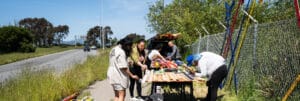
Pick up the Mill Valley-Sausalito Path at the end of Sycamore Avenue in Mill Valley. The path has a paved middle section for bikers and side dirt sections for walkers, which makes for a safe and relaxing stroll. You pass a large dog park and soccer fields and then enter Bothin Marsh. Once stretching from the foothills of Mill Valley to the Marin Headlands, the marsh today has been partially filled in and developed. On the right, apartments and town homes, including Pickleweed Apartments, an affordable-home complex, overlook the wetlands. However, the remaining section is protected and closed to vehicle traffic.
To your left is Pickleweed Inlet, which merges with Richardson Bay. You cross picturesque wooden bridges that traverse small inlets. This is a tidal marsh, and during very high tides, your feet may get wet crossing the bridges and on sections of the path.
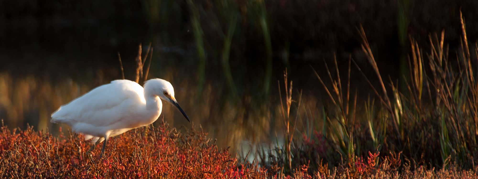
You will see an abundance of shorebirds – willets, stilts, dowitchers, egrets, gulls and many ducks. Surrounding you is pickleweed in the high-tide areas and cord grass in the low-tide sections. Although dogs on leash are permitted on the path, they are not permitted on the side paths that take you deeper into the marsh. Informational signs tell you about the fish, birds and plants of the marsh environment.
The underpass of the Richardson Bay Bridge is a good place to turn around if you want a shorter outing. The concrete bridge you see was once constructed entirely of redwood, more than 2 million board feet worth. The original bridge opened Nov. 22, 1931, with a joint ceremony celebrating the bridge and the first paved road between Mount Tamalpais and Stinson Beach.
If you’re in the mood for Italian food, on your return continue on the path past Sycamore to East Blithedale Avenue. Then turn right and stop in for lunch at Caffe Oggi (745 E. Blithedale Ave.).
Sausalito
To explore Sausalito, continue under the bridge. (No horseback riding on the Sausalito part of the path.) It’s noisy because of Bridgeway traffic, but at times you can detour along the public shore and get away from the din. The path officially ends at Gate 5, but just continue on the sidewalk. Stop for lunch at Fish (350 Harbor Drive) or drop in at Mollie Stone’s Market (100 Harbor Drive) to pick up picnic supplies.
Make sure to visit the Bay Model (2100 Bridgeway), which resembles an enormous gymnasium the size of two football fields. Inside is a hydraulic model of the San Francisco Bay and Sacramento-Joaquin River Delta system. You can look down from a platform and watch the workings of the bay, with a new tide coming every 3.8 minutes. The model is open from 9 a.m. to 4 p.m. Tuesday through Saturday.
If you bought picnic supplies, visit Dunphy Park, where you can put your toes in the water while enjoying wonderful views. Then continue along Bridgeway, enjoying the Sausalito atmosphere until you come to the ferry terminal.
Getting there
By car, in Marin County, exit Highway 101 at East Blithedale Avenue. Take East Blithedale west to Camino Alto and turn left. At Sycamore Avenue, turn left again and continue to the end of the road.
If you’re a serious walker, you can take the ferry to Sausalito and walk along Bridgeway to Gate 5 Road, where you pick up the path. You can get the ferry from San Francisco to Sausalito at the Ferry Building or at Pier 41.
Photo: Michael Arrighi via Flickr