
Rising above homes, freeways and shops, Walnut Creek’s four rugged open-space preserves – Sugarloaf, Shell Ridge, Lime Ridge and Acalanes – provide a welcome breather from hectic city life. Totaling more than 2,500 acres, these lands offer opportunities for hiking, biking and horseback riding as well as for preservation of wildlife habitat.
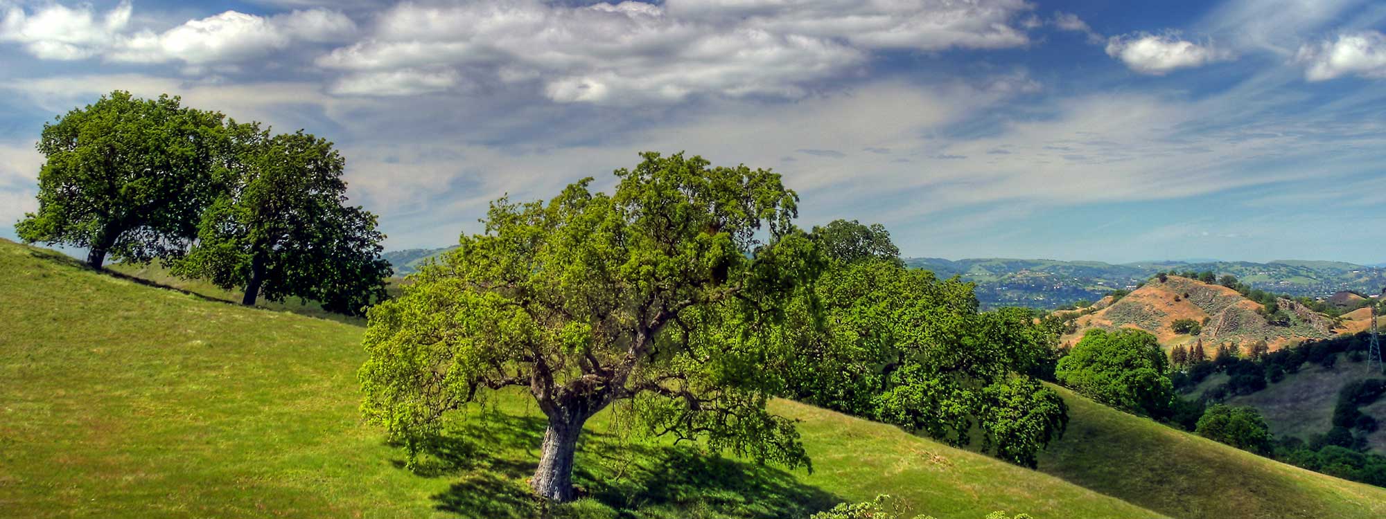
Sugarloaf (2161 Youngs Valley Road) is a 177-acre open-space parcel with 3 miles of trails offering ridgeline views of downtown Walnut Creek, Mount Diablo, Las Trampas Ridge, the Briones hills and Shell Ridge. It also contains a 15-acre historic grove of black walnut trees, the native walnut that gave Walnut Creek its name.
Pack a lunch and bring a hat if the weather is warm. Dogs are permitted on leash.
Ridge Top Trail
At the kiosk near the ranger station, pick up a free Walnut Creek open space map. This excellent guide shows not only Sugarloaf’s trails but also Walnut Creek’s other open-space trails. You can also pick up a booklet listing Walnut Creek’s many open-space programs, which include ranger-led hikes, classes and festivals. Near the ranger station, you will fine a shaded picnic area, water and restrooms.
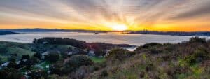
Walk through the gate and take the Ridge Top Trail straight up the hill on a broad fire road. (You will go from an elevation of 230 feet to 520 feet.) Look across the brown hills to downtown Walnut Creek. As you climb, you can also see Mount Diablo and Shell Ridge Open Space. Pass a side trail to Lariat Lane and continue to the top of Sugarloaf Hill. A bench offers well-earned rest in the shade. A circular trail around the bench gives you a 360-degree view of your surroundings.
If you are adventurous and fit, take the Bottom Springs Trail (sometimes known as Cardiac Trail) that leads steeply downhill from the circle. At the bottom, you will find yourself in a cool oak meadow, where you can enjoy fall colors, but where you may get muddy during the rainy season. Wild turkeys are common here. As you continue, notice how close you are to homes and backyards – a true urban wild. The trail ends on Bridle Lane between two houses.
Rest up and retrace your steps back to the hilltop.
To the ranger station
After you have cooled off in the shade, continue along the Ridge Top Trail enjoying the views. To return to the ranger station, take the Center Trail downhill and enjoy the view of the old walnut orchard. Alternately, you can continue farther on the Ridge Top Trail and take the Orchard Trail down for a closer look at this historic grove of trees. Although the grove is currently nonproductive, it is one of the few remaining orchards in the area.
Getting there
By car from San Francisco, cross the Bay Bridge and take Interstate 580 east toward Highway 24. Exit onto Highway 24 and continue to Interstate 680 south. Exit at South Main Street (exit 45A). Turn right on South Main, left on Rudgear Road and right on Youngs Valley Road. Continue to the end of the road and park in the small lot near the ranger station.
Public transportation is available on weekdays. Take BART to Walnut Creek, and then take County Connection bus No. 2 to Rudgear Road and Youngs Court. Walk west one block on Rudgear to Youngs Valley Road. Turn left on Youngs Valley Road and continue to the ranger station. Call the County Connection (925) 676-1976 or go to www.cccta.org for the bus schedule.
Photo: John Morgan via Flickr