
Farms and open space won important protections when the Contra Costa County agency charged with stopping runaway sprawl, the Local Agency Formation Commission (LAFCo), adopted an Agricultural and Open Space Preservation Policy. This policy will make it much harder for sprawl to swallow up farmland, ranchland, and natural habitats outside of cities and towns.
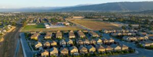
In the last 30 years, the Bay Area has lost 217,000 acres of agricultural land to sprawl development—a total area equivalent to seven San Francisco’s. Contra Costa County agriculture contributes $225 million to the local economy. Yet the county has had nearly 20% of its agricultural land paved over by city annexation since 1990, and much of what’s left is still threatened by imminent development pressure.
The newly-adopted policy will push back against this development pressure by:
- Requiring mitigation planning for impacts to agricultural and natural lands from annexation proposals, which can slow down expansions and protect some lands through conservation easements.
- Avoiding development impacts to existing agricultural and natural lands.
- Requiring inventory of vacant land within existing urban limits before allowing annexations, which can help to prioritize infill over sprawl development.
While the policy does not mandate the preservation of agricultural and natural lands, it will undergo an annual review where we hope to strengthen requirements for mitigating the loss of these lands.
Greenbelt Alliance hopes this policy inspires counties across the region to step up their support for local agriculture by adopting farm-friendly policies, and will carefully watchdog the policy to make it even more effective.
Download our report, HomeGrown: Tools for Local Farms and Ranches, for a compilation of innovative tools and best practices to help Bay Area farmers and ranchers stay in business.
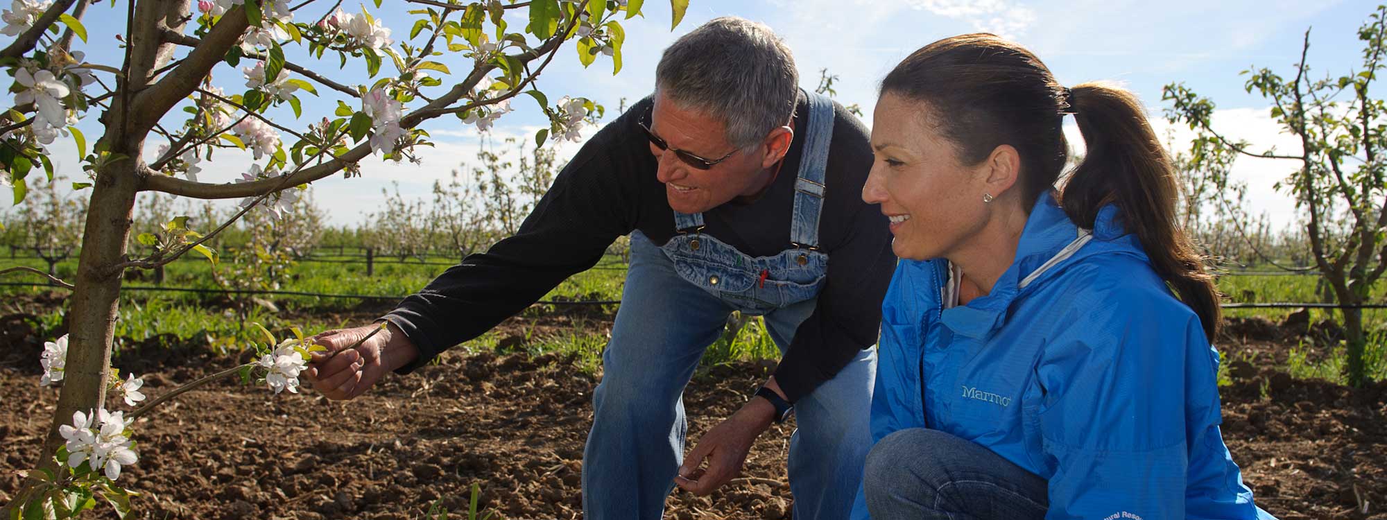
Photo: NRCS California via Flickr