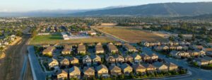
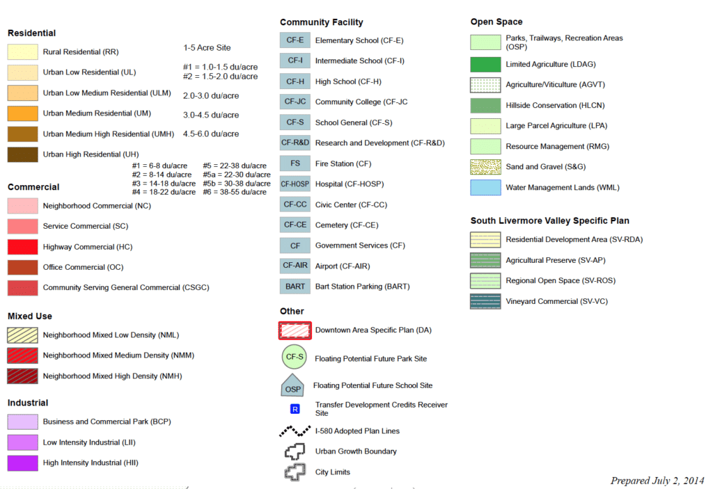
A city’s General Plan is made up of goals, policies, and elements. However, these plans must also contain a land-use map. This is exactly what it sounds like, a map that outlines how land within a city’s borders can be used—open space, industrial, residential, commercial, mixed-use, etc.
Getting the land-use map right is probably the best way your city can address climate change through its General Plan. Making smart decisions about where to focus each type of development, how much to build in each place, and what transportation options serve those areas can have a huge impact on your city’s greenhouse gas emissions.
That is in large part because the land-use map is often used to set the minimum and maximum densities for each type of growth. Density, meaning how many dwellings can be built in an area, is especially important for healthy public transportation. When there are more homes closer to train and bus stops, it is easier for residents to avoid driving and rely on transit systems.
Check out this example of the city of Livermore’s land-use map:
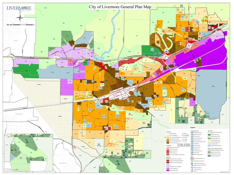
Of course, there are a wide variety of ways to use land, and your city will have to consider all of them before adopting an official land-use map. Picking the right plan involves proposing and analyzing multiple land-use alternatives, each of which would guide future growth in a different way. Whoever’s making the final choice will then review and refine all of these alternatives to figure out which one best fits the city’s present and future needs. Based on that analysis, they’ll choose a preferred alternative which will, pending official approval from your city’s planning commission and city council, become the official land-use map.
Interested in learning more about land-use maps, General Plans, and how they can help combat climate change? Check out our guide, Green Your City’s Blueprint today!
Photo: Rodrigo Soares via Unsplash.