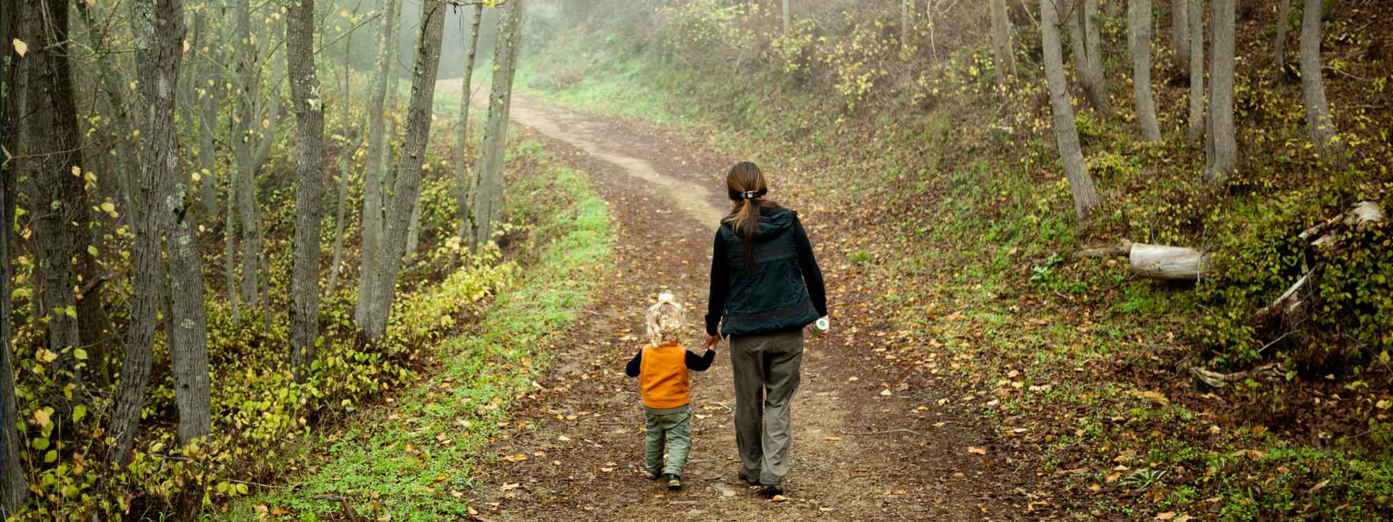

Right in the middle of urban El Cerrito, rising up from a recycling center, is the El Cerrito Hillside Natural Area – an urban jewel of oak forests, grasslands, streams, rocky outcroppings and sensational views. Popular with hikers and dog walkers, the approximately 90-acre area is home to deer, gray fox, opossum, raccoons and rabbits. Trails are unmarked, so it’s easy to get disoriented, but you can always just head downhill to return to civilization.
Some trails are steep and can be slippery with eucalyptus buds. A quick search of a map of the Hillside Natural Area shows the roads, trails and steps, specifying the riskier ones.
Exploring the north side
The trailhead, just west of the recycling center (7501 Schmidt Lane), is marked by a large “El Cerrito Foundation Memorial Grove” sign. Head up the service road to enter a grove planted with pines and redwoods. Look down over the metal fence above the recycling center to see the remains of the Hutchinson rock quarry that was once here.
On the trail, enjoy lovely views of the Bay and Golden Gate bridges. You can see Brooks Island, the hills of Point Richmond, Point Isabel and Albany Hill. Paths lead off to the left, but stay on the fire road until you come to the third path (marked by a small, white-capped pipe spattered with red paint sticking up from the ground). Turn left here and you are on what once was a Boy Scout nature trail, complete with marking posts. Past the first marker are two benches, one inscribed with the name of the troop that built it.

You pass into a dramatic and unspoiled coast live oak forest that looks as it must have thousands of years ago. Honeysuckle, coyote mint, native blackberry, yerba buena, soap root and death camas (don’t eat it) line the trail. You will also pass several small creeks cutting into the hillside. Stay on the fire trail, crossing another fire road and up some steps. Continue until the trail cuts downhill and ends at Douglas Drive.
When you return, just pass post No. 2, walk down the narrow trail on your right. This connects you with the lowest trail that you bypassed on the way up and leads you past open meadows back to the recycling center.
Exploring the south side
If you prefer open hillside to forest, hike the south side of the hill. Start up the same trail, but continue bearing to the right and uphill. You will cross large swaths of meadow. A bench is provided at a panoramic overlook near a grove of acacia trees, where you can see gorgeous views of the bay, Berkeley, Oakland and the hills beyond. Stay on the fire road until it exits the Natural Area at King Court. Walk uphill to Shevlin Drive. Then turn right (downhill) and walk along Shevlin past a series of regal courts – Baron, Duke and Earl – to Moeser Lane. Once rock from the quarry above raced down Moeser in metal cars along narrow-gauge rails heading toward crushers. The heavy cars hurtling down Moeser would pull the empty cars back up.

Turn right on Moeser, re-enter the Hillside Natural Area and walk downhill on the little trail paralleling Moeser, enjoying the views of San Francisco, Mount Tamalpais and the Marin Headlands. Stay on the path as it gently slopes away from Moeser, following the PG&E lines to your right down the hill. When the PG&E lines cross the trail, turn left at the crossroad and leave the Natural Area, exiting at Navellier Street.
Turn right on Navellier and walk one block to Schmidt and the reconstructed recycling center. The facility is a LEED platinum, zero-net energy facility with a solar-powered charging station for electric vehicles. A rainwater-collection system is used for irrigation, toilets and washing vehicles.
After the walk
Stop by for lunch at Nibs (10841 San Pablo Ave.), almost directly across San Pablo Avenue from Schmidt Lane. Ample portions of American diner food (sandwiches, omelets, salads, burgers, pies and shakes) are offered at reasonable prices.
Getting there
By public transportation, take BART to El Cerrito Plaza Station. From there, catch the 72 or the 72M heading north. Exit at Schmidt Lane and San Pablo Avenue, turn right and walk less than a mile to the trailhead at the recycling center. The trailhead is on your left.
By car from San Francisco, head over the Bay Bridge and continue on Interstate 80, exiting on Potrero Avenue (exit 15). Follow the signs for San Pablo Avenue, merging onto Potrero. Turn right at Navellier Street and left at Schmidt Lane. The trailhead is on your left.
Photos: Stefan Klocek via Flickr