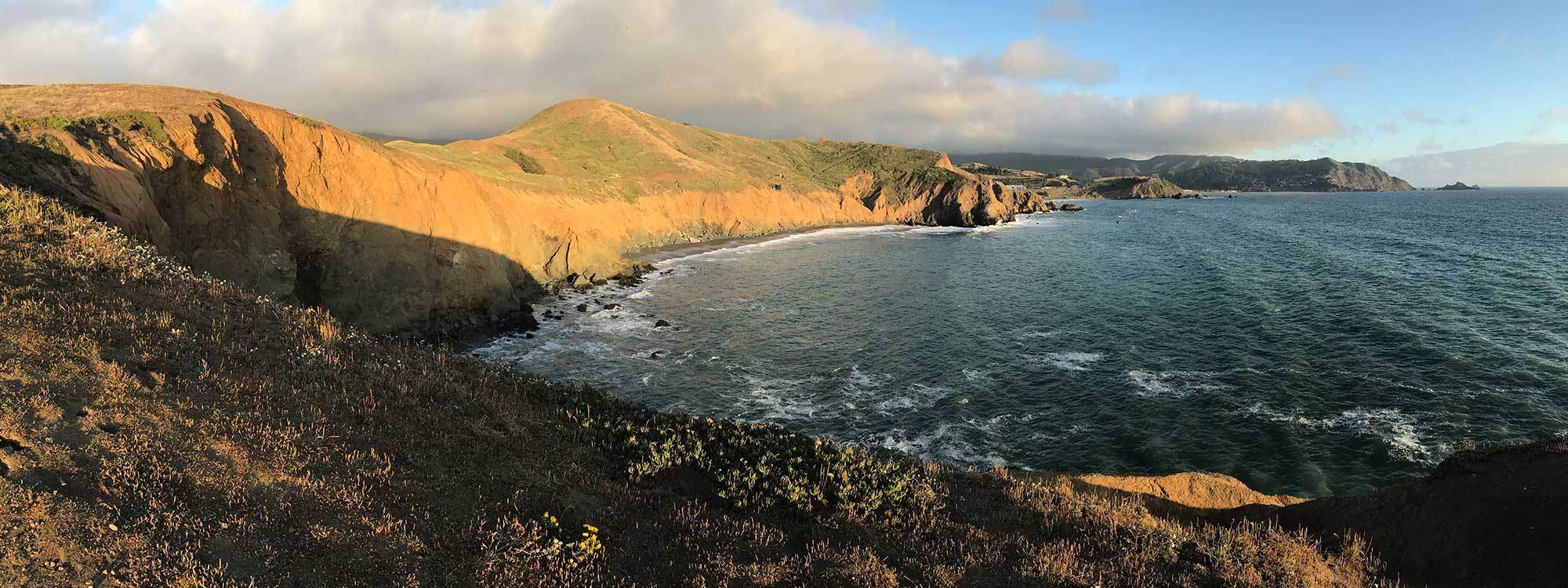

Mori Point is an iconic site, a striking promontory that separates San Francisco from the peninsula’s less-developed ocean coast. Long before its brief cameo in Harold and Maude, the point let travelers heading south know they’d left the city behind. Local activists were able to transfer ownership of Mori Point to the Golden Gate National Recreation Area (GGNRA) in 2002, preserving this stunning gateway to the Bay Area’s natural lands.
Today, although it spans only a relatively small 110 acres, Mori Point is host to a variety of hiking and biking trails, stunning 360 views, dynamic wildflower blooms, and a unique blend of distinctive terrains. It also provides critical wildlife habitat for both the threatened California red-legged frog and the federally endangered San Francisco garter snake. And the park continues to improve, thanks to the efforts of the more than 1,400 volunteers who have collectively spent 40,000 hours spreading native plants, clearing out invasive species, and improving trails.
Park History
 In 1888, an Italian immigrant named Stefano Mori purchased the 19 acres that are now Mori Point to use as farm and ranchland. Until that point, the area had been primarily used as a limestone quarry, the scars of which are still clearly visible today. Mori’s family eventually established the Mori Point Inn, which they operated continuously until 1965. During Prohibition, the Inn’s coastal location and relative seclusion made it an ideal port of entry for imported Canadian whiskey, a smuggling tradition that lends its name to the Bootlegger’s Steps leading up the point.
After the Inn shuttered and subsequently burned down in 1966, the land was threatened by a steady stream of development proposals, culminating in a 1984 sprawl proposal that would have replaced this vital habitat with 60 single family homes and a 275-room hotel. When Pacifica’s City Council approved the plans in 1988, Mori Point was on the brink of being lost forever. Fortunately, local opposition by a group called “Pacificans for Mori Point” sued to stop construction, leaving the area undeveloped until it was finally purchased by the Trust for Public Land in 2000.
Mori Point Highlights
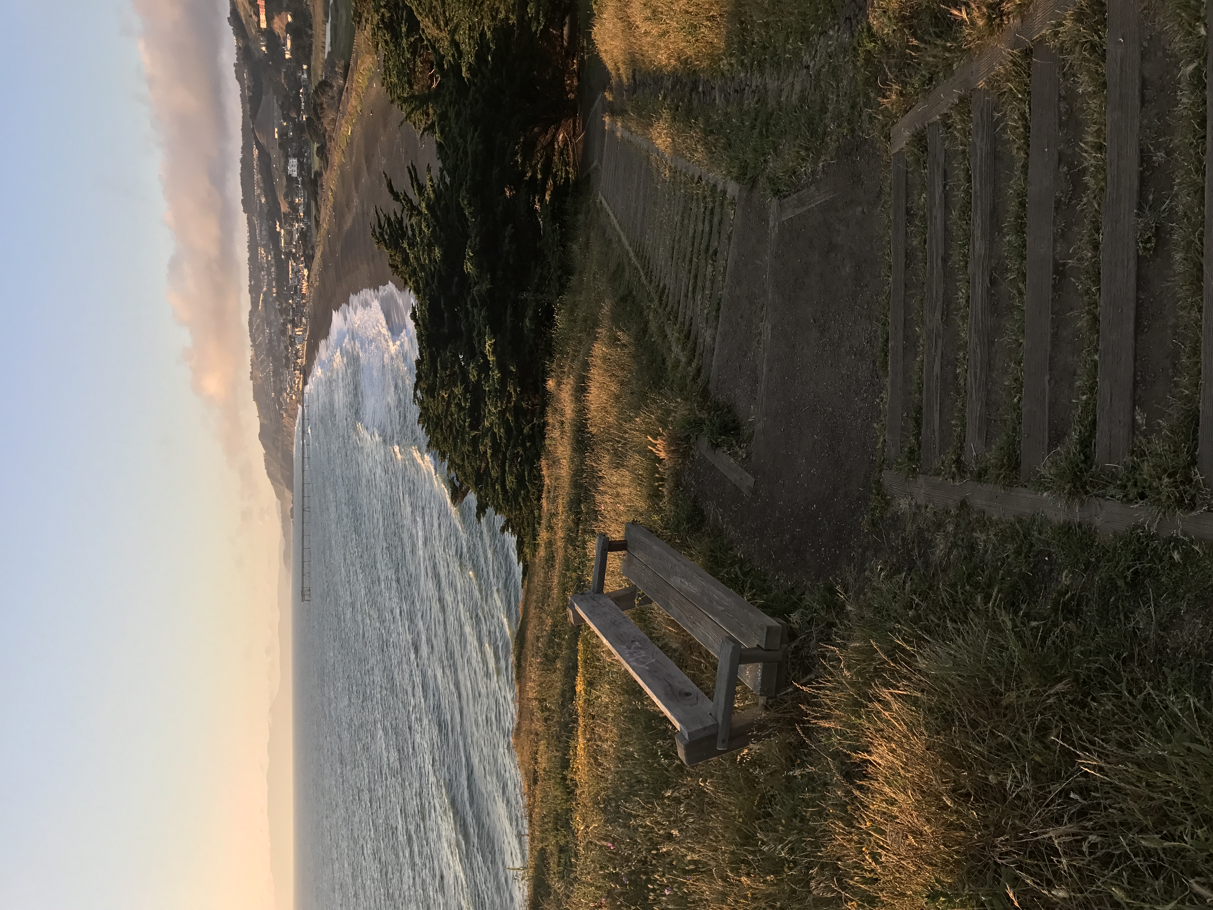
The view from Mori Point itself is definitely the main attraction here, easily reached via the gently sloping Old Mori Trail, or a slightly more strenuous trip up bootleggers steps. From there, you can simply enjoy the view, or continue on the unmaintained Mori Bluff Trail as it runs along a tempting but inaccessible private beach. And while it’s not technically part of Mori Point, you can take the beachfront trail along the edge of Sharp Park north to the Pacifica Municipal Fishing Pier, one of the Bay Area’s most popular crabbing and fishing spots.
Opportunities and Improvements
In 1998, the National Park Service’s Pacifica Boundary Study targeted a variety of parcels for future inclusion in the GGNRA, including the 116-acre quarry between Mori Point and Rockaway Beach. Protecting this land, which was identified as being under high risk of development in our 2017 At Risk Report, would not only add more variety to the already dynamic Mori Point landscape, it could provide more essential habitat for the endangered species who make the area their home.
Park Details
Location: Mori Point is located just off Highway 1 in Pacifica, at Mori Point Road, Pacifica, CA 94044
Hours: The park is open 24 hours a day, but due to the unmaintained trails and steep cliffs we do not recommend visiting at night.
Fee: None
Website: http://parksconservancy.org/visit/park-sites/mori-point.html
Phone number: (415) 561-4323
Photos: Albedo20 via Flickr