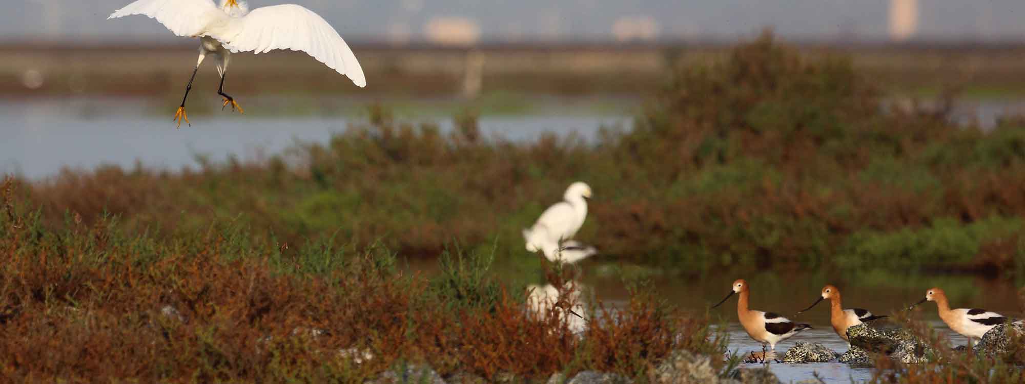

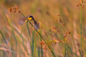
If you love birds — raptors, waterfowl, sandpipers, rails, swallows, wrens and more — visit the Don Edwards San Francisco Bay National Wildlife Refuge.
 At nearly 30,000 acres of salt marshes, salt ponds, mudflats, open bay and vernal pools, the sanctuary is the country’s largest urban wildlife refuge and host to more than 280 species of migrating and resident birds each year. The refuge, managed by the U.S. Fish and Wildlife Service, hugs the shores of the Dumbarton Bridge with two focal points – a visitor center in Fremont and an environmental education center in Alviso.
Founded in 1974, the refuge acquired much of its land from the Leslie Salt Co. (now Cargill Salt). Today, an ambitious restoration project will transform many of the salt ponds into tidal salt marshes.
This outing highlights two short but satisfying walks starting at the visitor center.
Tidelands Trail
At the visitor center, you can obtain a detailed trail map, explore interactive exhibits or borrow binoculars. Outside, cross Marshlands Road and take the path on your right a short distance to a second parking lot with a large informational kiosk. At the sign for Tidelands Trail, walk downhill to a charming wooden bridge that crosses a field of pickleweed and Newark Slough. Look to your right at the little red hut that once sheltered duck hunters but now shelters hikers.
At the end of the bridge, turn left on the combined Tidelands/Newark Slough Trail. (The Newark Slough Trail to the right – a 5-mile hike – is closed for restoration.) As you stroll, between the slough on the left and a gigantic salt pond on the right, imagine the tule elk and grizzlies that once roamed this area. Cross the slough again on another bridge.
 On the other side, follow the Tidelands Trail until you come to a junction. Here, stay to the right and enjoy blooming California poppies and golden crown sparrows pecking at seeds. The trail winds uphill to an overlook and a view west at the slough, salt ponds, San Francisco Bay and the Dumbarton Bridge, north to Coyote Hills and east to the LaRiviere Marsh, Mission Peak and the cities of Fremont and Newark . Continue on the trail back to the starting point.
LaRiviere Marsh Trail
Once a salt crystallization pond supporting limited life, the pond was restored as a tidal salt marsh in the 1980s. It teems with life including the endangered California clapper rail and the endangered salt marsh harvest mouse.
Take the steps down from the visitor center to the LaRiviere Marsh trailhead, where a long, picturesque wooden bridge leads you across the marsh. At the end of the bridge, turn right.
The marsh changes hourly with the rise and fall of the tides, with tide gates controlling the water flow. While I was there, a white-tailed kite hunted overhead while ducks and shorebirds frolicked below. At the end, double back.
Good to know
The Visitor Center is open 10 a.m.-5 p.m. Tuesday through Sunday and closed on federal holidays. Trails are open from 7 a.m. to 8 p.m. April through October (7 a.m. to 6 p.m. in the winter). Limited fishing and waterfowl hunting are permitted in designated areas. Call (510) 792-0222 for information.
Getting there
From San Francisco, take Highway 101 south, go east on Highway 84 across the Dumbarton Bridge and exit at Paseo Padre Parkway/Thornton Avenue. Drive south on Thornton about 0.8 miles and turn right into the refuge. In the East Bay, take Interstate 880 south, go west on Highway 84 and exit before the toll plaza at Paseo Padre Parkway/Thornton Avenue.
Photos: Don McCullough via Flickr