

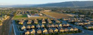
On November 18th, Greenbelt Alliance in partnership with the Hayward Area Shoreline Resilience Collaborative hosted a workshop where neighbors and community members gathered at the Cherryland Community Center to explore and weigh in on plans to protect the Hayward Area Shoreline from sea level rise through three projects using nature-based solutions. Over 140 attendees joined us, including residents, local officials, and project partners, to dive into major projects that are reimagining what coastal protection can look like—combining flood safety with habitat restoration and new trails along the Bay.
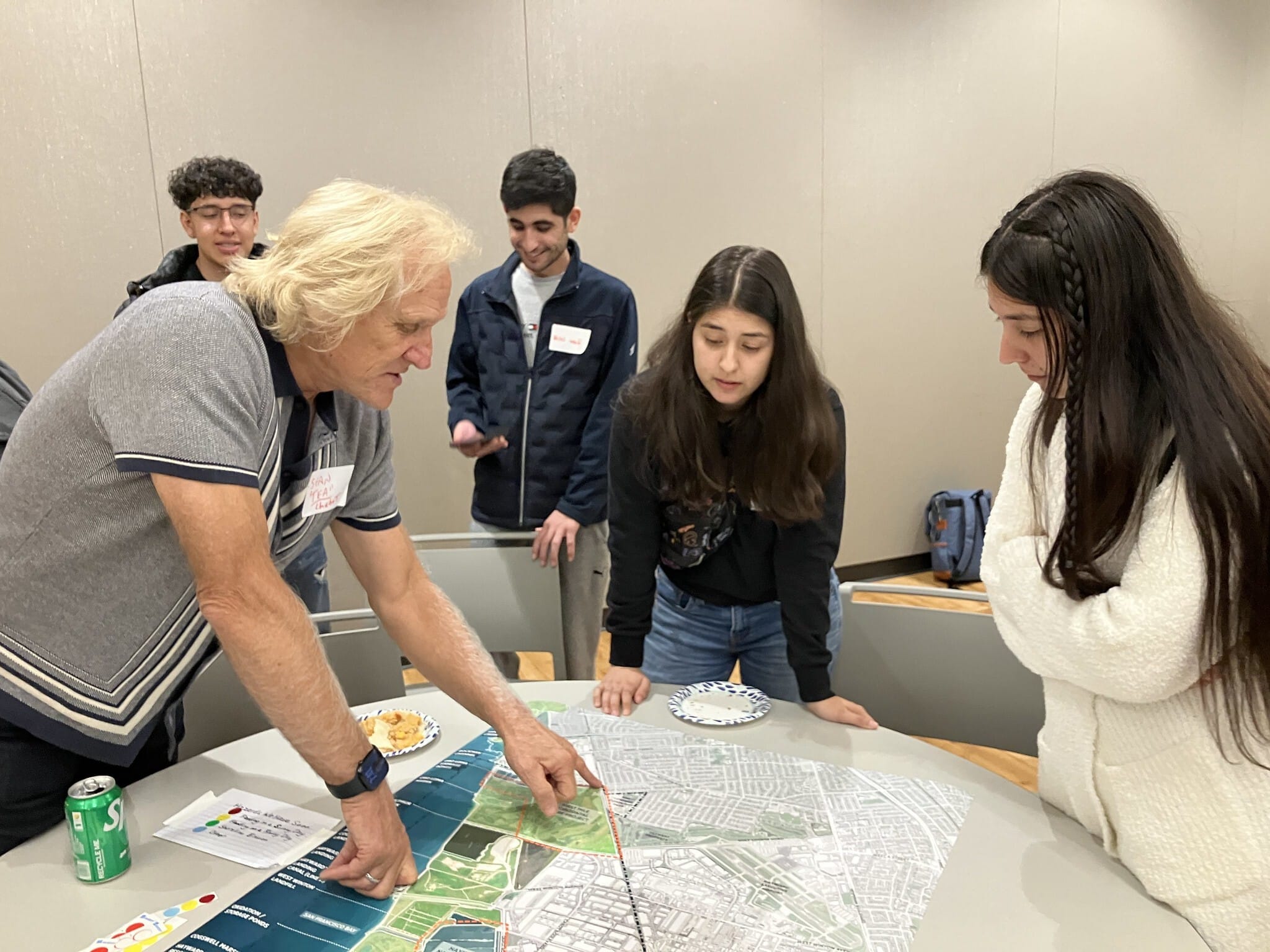
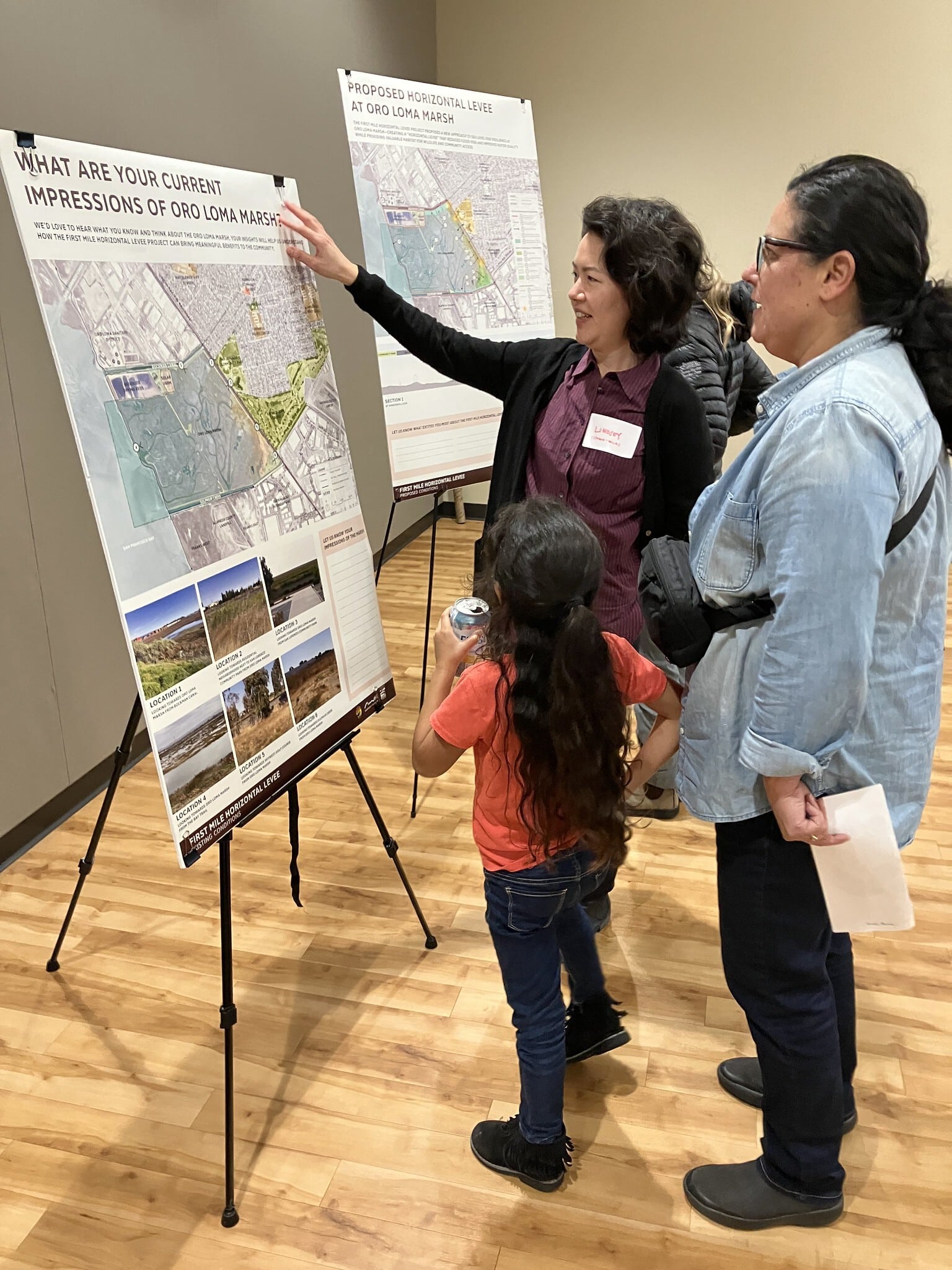
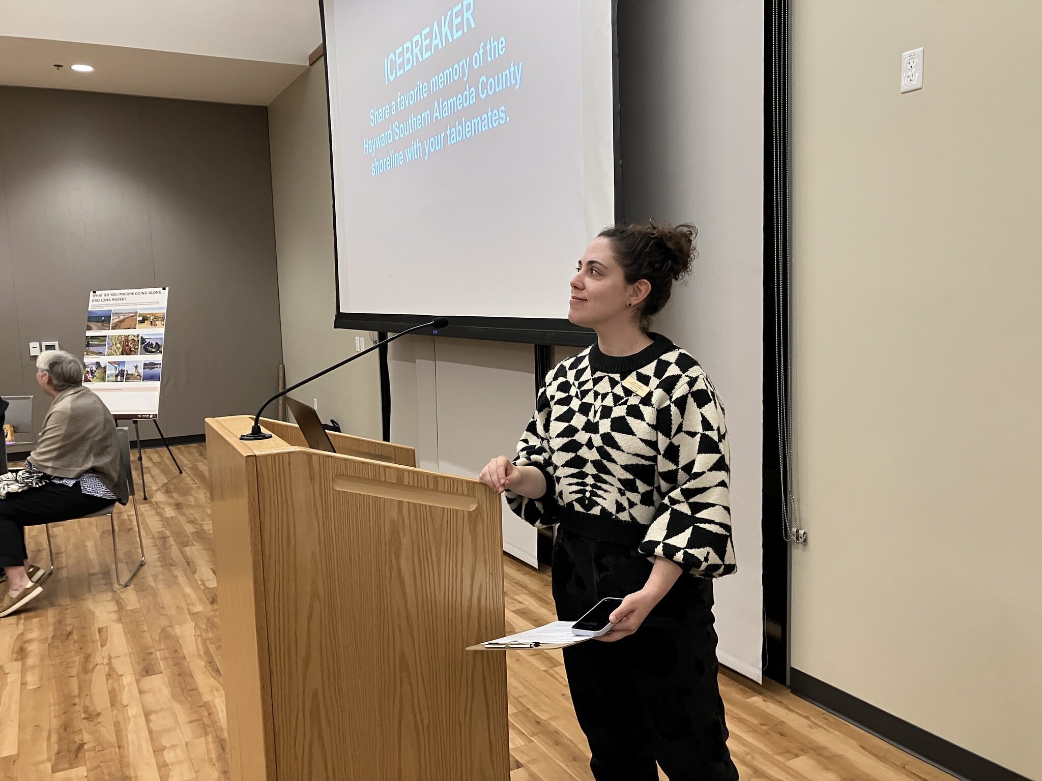
The evening kicked off with a look back at the shoreline’s rich history, from its roots as Ohlone land through the salt production era and the 1970s activism that preserved it as public space. Then attendees were able to explore three stations to learn more about the projects and map where they have seen flooding and erosion along the shoreline. During the breakout session, participants were able to speak to planners and designers for the three projects, including the HASPA’s Shoreline Adaptation Implementation Plan, the First Mile Horizontal Levee at Oro Loma Marsh, and the Hayward Nature-Based Solutions Project. Each station sparked conversations about what matters most to the community—how the projects will look and feel, what kind of trail access they’ll provide, how they’ll handle flooding and mosquitoes, and what ongoing maintenance will involve.
Rethinking Levees For a Changing Shoreline
With sea level rise becoming an increasing concern, these projects are testing an alternative to traditional concrete levees. Horizontal “living” levees use gentle slopes and native plants to absorb wave energy and reduce flooding while creating space for marshes to migrate inland as waters rise. The First Mile Horizontal Levee will also treat wastewater to improve bay water quality, and the Nature-Based Solutions Project will transform old oxidation ponds into functioning wetlands—all while providing more trail access for biking and walking. It’s an approach that protects people while actually enhancing the ecosystem rather than cutting it off.
Before wrapping up, organizers invited everyone to join the King Tide Tour on December 6th at the Hayward Shoreline Interpretive Center, where participants can see these flood risks in action and learn more about what’s being done to address them. The projects are still in development, with community input shaping what they’ll ultimately become.
The Hayward Area Shoreline Resilience Collaborative includes Greenbelt Alliance, Plantify, East Bay Dischargers Authority, The Watershed Project, Teach Earth Action, and San Francisco Estuary Partnership, working with HASPA member agencies: City of Hayward, East Bay Regional Parks District, Hayward Area Recreation and Park District, and Alameda County Mosquito Abatement District. To learn more about the Hayward Area Shoreline Projects, check out the San Francisco Estuary Partnership’s (SFEP) website here.
Want to stay connected? Reach out at HaywardShoreline@greenbelt.org. Join the King Tide Tour on December 6th, 11am-1pm at the Hayward Shoreline Interpretive Center—register at bit.ly/hayward-kingtide.

